|
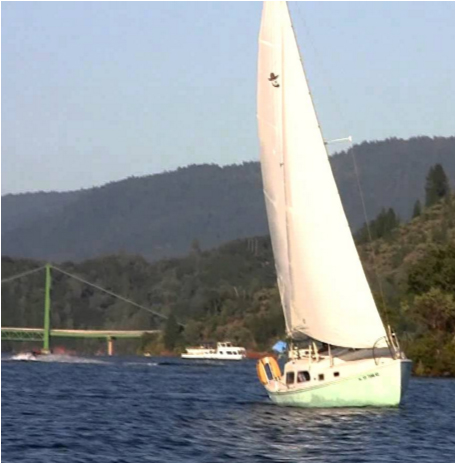
Lake Oroville State Recreation Area From Highway 70, go east on Highway 162 (Oroville Dam Blvd.). Continue on Oroville Dam Blvd., turning right at Olive Hwy. (Highway 162), proceed approximately 6 miles on Olive Highway to Kelly Ridge Road. Turn left and Kelly Ridge Road ends in the Visitor Center parking lot. Launch areas include the Spillway boat ramp, Bidwell Bar, and Loafer Creek. (Boat Ramp Information) Most sailors launche from the Bidwell or spillway boat ramps. The spillway elevation is 900 feet. link to Lake Oroville level plot --1/1/12 to today |
Spillway Ramp |
|
View Lake Oroville Sailing Club Sites in a larger map |

| Northern California Sailing Information | |
| Sailing Sites and Maps Weather Forecasts Current Valley Winds Sailing Clubs Dinghies Sailing Safety | ||